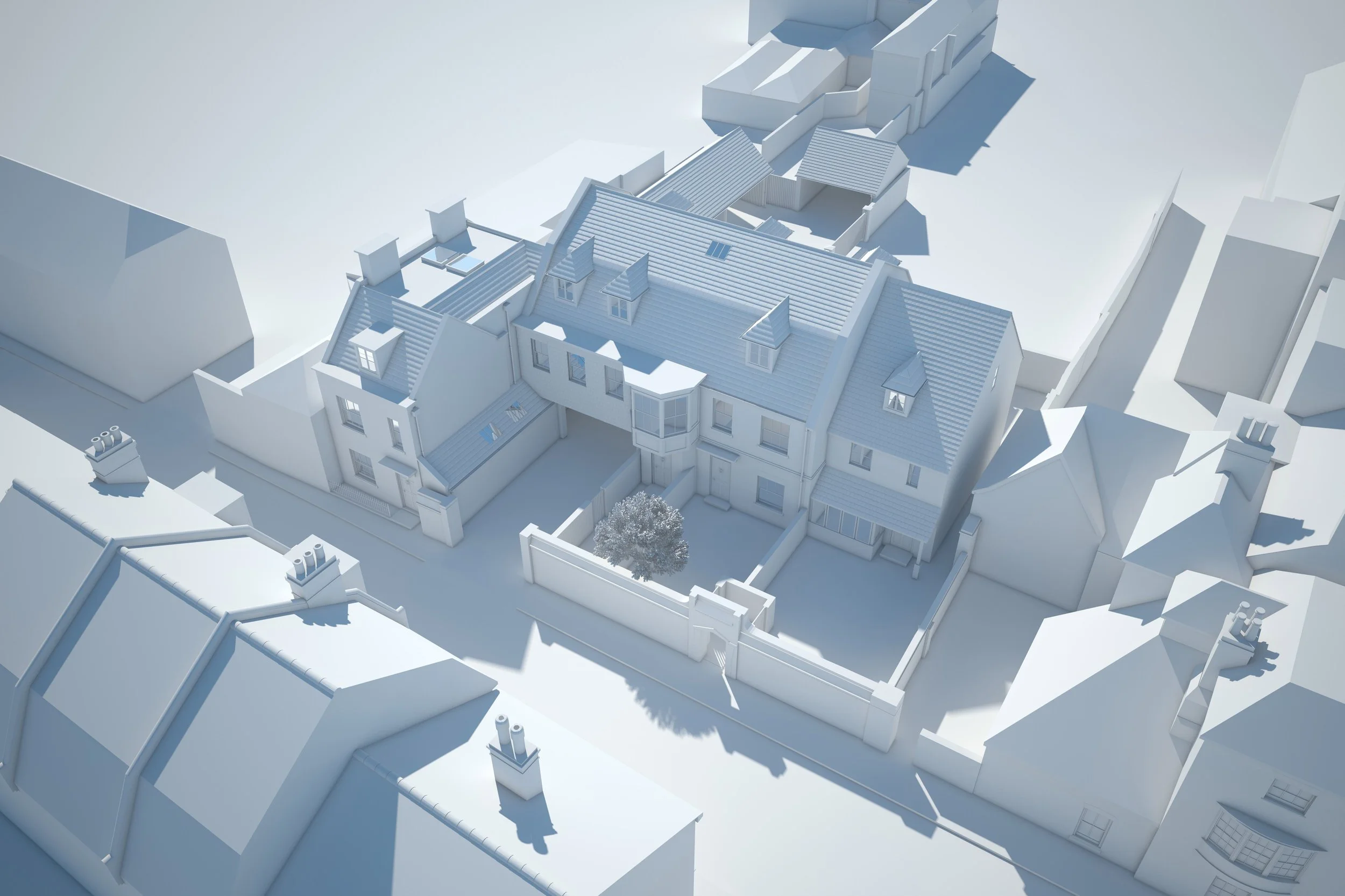
Aerial Drone and Eye-Level Photomontage
Photomontages provide clear, context-accurate visuals that show how a proposed development fits within its environment.
Benefits:
Present realistic, site-accurate views of a proposed development.
Communicate key elements such as scale, massing, materials, and architectural intent.
Support planning submissions and stakeholder approvals.
Aid marketing with informative, context-rich imagery.
Reduce uncertainty through precise CGI integration with drone or eye-level photography.
Give a clear visual understanding of the project before construction begins.
Kilkenny Lane Barn Conversion
An aerial drone photomontage depicting a proposed Somerset barn conversion, complete with an apple orchard and dual-aspect outdoor spaces overlooking the Somer Valley. Slide to compare the before and after.
Rollestone Street, Salisbury
A photomontage illustrating a proposed development in Salisbury that adopts a Georgian architectural vernacular designed to blend seamlessly with its historically sensitive surroundings.